If there ever could be such a place as Heaven on Earth, it would have to be in the Himalayas… to be there is to feel a “presence” far greater, far more sublime than ever experienced. Magical, mystical, mesmerizing.
I was planning to write a blog on what I felt there in the shadow of the highest mountain in the world, but I thought for starters let me write on what I saw there, lest the photographs remain mere “pretty pictures” with their significance, or what they are, being guessed. For sure, the next post will be on what I felt. I usually don’t do this, write a sort of travelogue or photo-essay, but this time I will. The Himalayas literally mean “abode of snow”, and geologically are the massive mountain system that additionally includes the Karakoram, the Hindu Kush, and other lesser ranges that extend out from the Pamir Knot. Some of the world’s major river systems arise there, and their combined drainage basins are home to some 3 billion people (almost half of the Earth’s population). The Himalayas have also profoundly shaped the cultures of South Asia, with many Himalayan peaks sacred in Hinduism, Buddhism, and Sikhism. Overall, the Himalayan mountain system is the world’s highest, and is home to the world’s highest peaks, the 14 “Eight-thousanders”. Putting this enormous scale into perspective, Aconcagua, in the Andes, at 6,962 metres (22,841 feet), is the highest peak outside Asia, whereas the Himalayan system includes over 100 mountains exceeding 7,200 metres (23,622 feet)!
Much has been written on the trip into the Everest region, but what I found conspicuously absent were photographs that could even remotely do justice to what I would see in the Khumbu. So when I headed there, one of my objectives was to set this right and return with a few thousand pictures (which I did). And now using just a few of these, let me narrate my story. Well actually it’s not so much of a story as a few photographs which I think epitomize the sights of Khumbu…
After a hair-raising flight into Lukla from Kathmandu, I started walking northwards and after about three hours I reached Phakding just across the Dudh Kosi. As aviators would say, this part of the journey was “straight and level”.
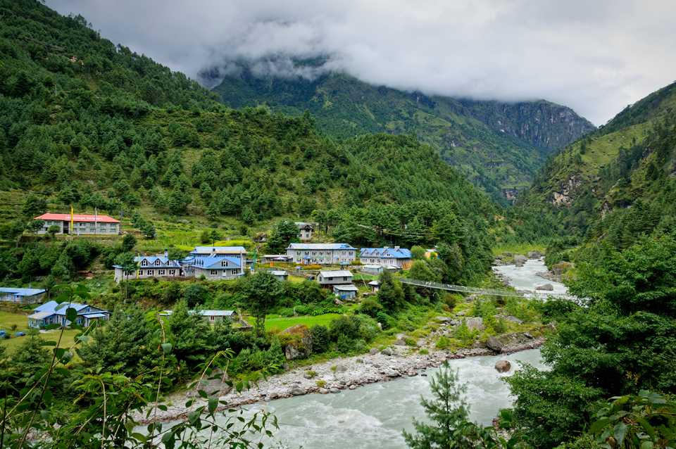
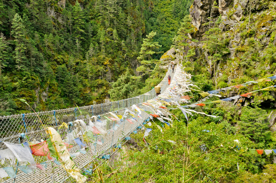
After Phakding comes Monjo, and then the Sagarmatha (Everest) National Park, which is when the real climb begins – almost vertical leading straight up with steps hewn into the mountains. The ascent brings you to the “Lord of the Rings” suspension bridge in the misty mountains at a dizzying height above the Dudh Kosi after which is another climb to Namche Bazar. This part was the toughest climb: five hours up, up, and up without a pause from 2800 m to 3540 m!
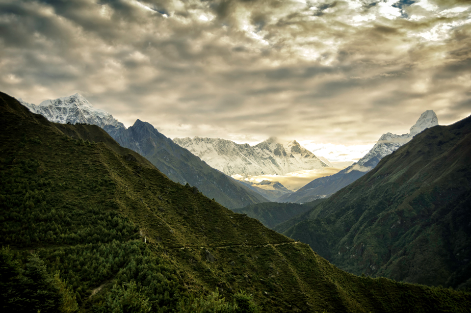
Just above Namche Bazaar is Chhorkung; this is the view of the Great Himalayas from there: Thamserku to the left, Everest in the centre, its 8848 m peak shrouded in clouds, and Ama Dablam to the right of the frame.
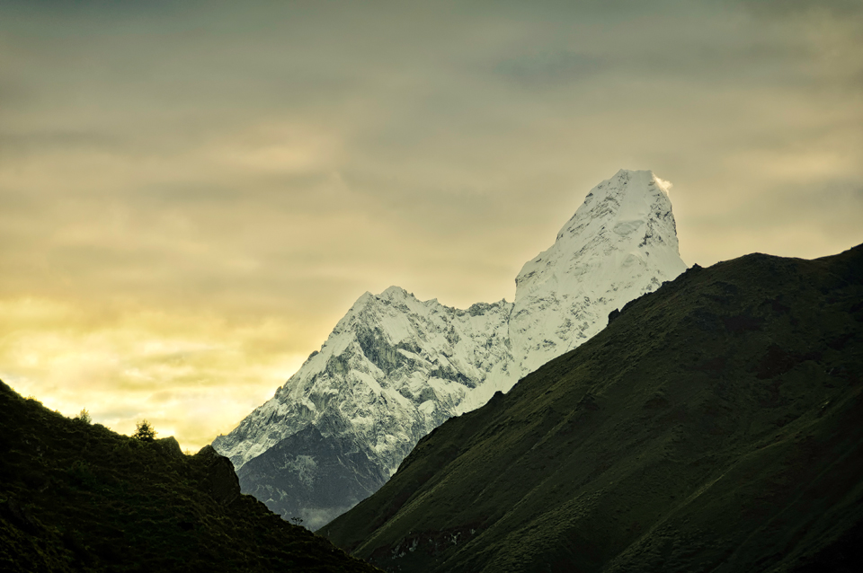
Here is another photograph of Ama Dablam – by far one of the most beautiful mountains of the Great Himalayas of Eastern Nepal. The main peak is 6,812 metres (22,349 ft), the lower western peak is 5,563 metres (18,251 ft). Ama Dablam literally means “Mother’s Necklace”; the long ridges on each side like the arms of a mother (“ama”) protecting her child, and the hanging glacier thought of as the “dablam”, the traditional double-pendant containing pictures of the gods, worn by Sherpa women. For several days, Ama Dablam dominates the eastern sky for anyone trekking to Mount Everest basecamp.
And now this is the first view of Everest from Namche Bazaar just before sunrise, with the unpredictable jetstream to the right.
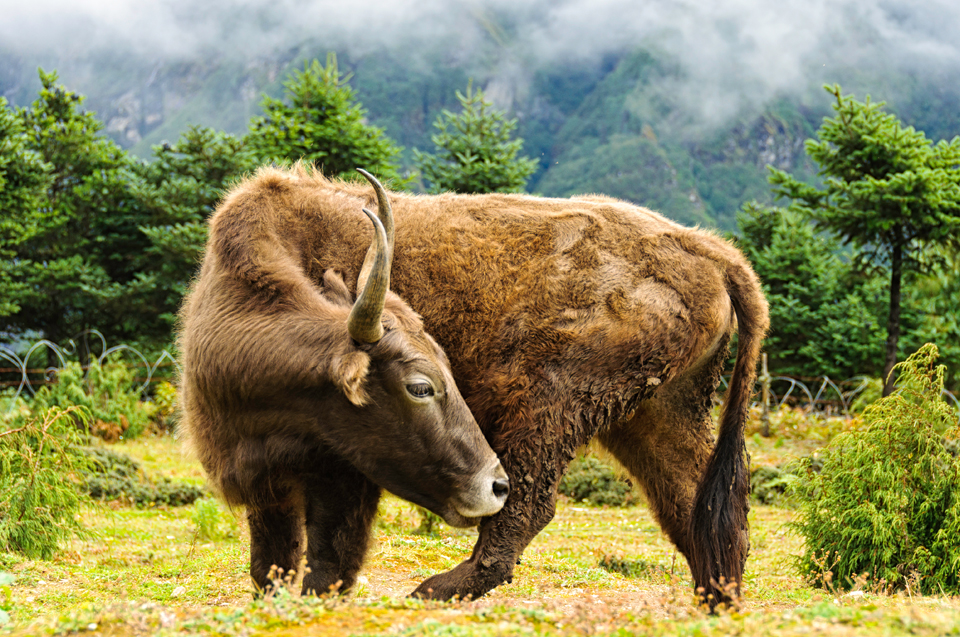
This is a “dzopkyo” – most of the so-called “yaks” around the Khumbu are actually dzopkyo (male) or dzum (female), the offspring of pure-blood yaks and cows or Tibetan bulls. And by the way, a yak is a male, a female is a nak; so actually there isn’t any yak cheese, it’s a misnomer – there is only nak cheese. But then, what’s in a name really?
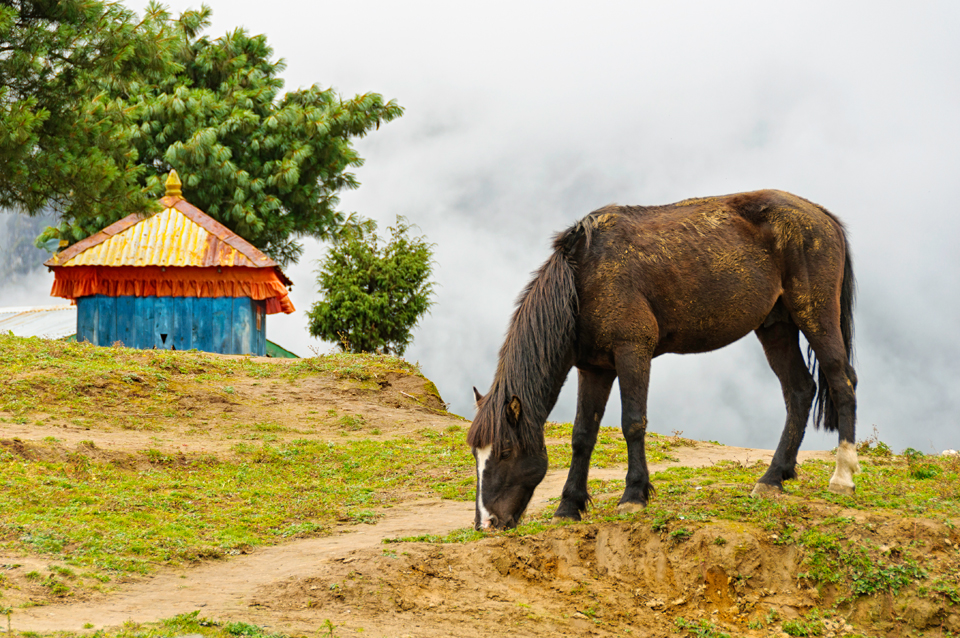
And a wild horse…
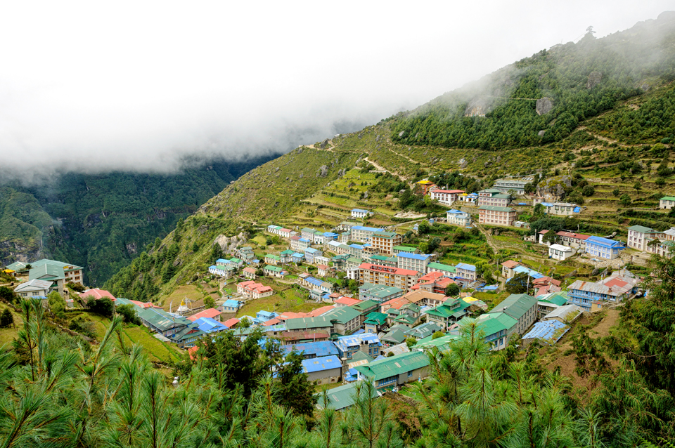
This is a photograph of the natural amphitheatre of Namche Bazaar as seen from Chhorkung, a few hundred metres above it.
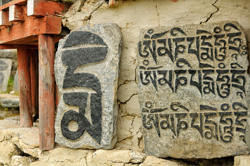
Mani stone – these are stone plates, rocks and/or pebbles, inscribed with the six syllabled mantra of Avalokiteshvara (Om mani padme hum, hence the name “Mani stone”), as a form of prayer in Tibetan Buddhism. Mani stones may also be used in a loose sense to refer to stones on which any mantra or devotional designs are inscribed.
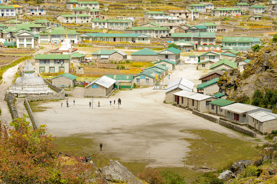
Above Namche and Chhorkung is Khumjung at an elevation of 3,970 metres. A monastery here houses a purported Yeti scalp. This is a photograph of the Khumjung school, built courtesy Sir Edmund Hillary. It took me about two hours to get here from Chhorkung, above Namche Bazaar, and would have probably taken the same time heading down. And young children from Namche come here to study daily making the trip up and down 45 minutes each way!
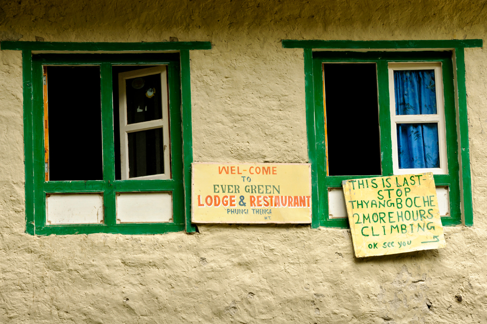
After this the next stop was Tengboche for which I first needed to descend to this point at Phunki Thenga, cross a river and then another two-and-half hours to Tengboche – straight up.
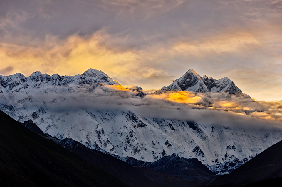
All the climbing up and down is worth it for a sight such as this: framed by the valleys of the lower Khumbu, Everest is to the left with the fourth highest peak in the world – Lhotse, to the right as seen from Tengboche.
This is Tengboche Monastery with Machermo behind it. It is also known as Dongak Choling Gompa, and is a Tibetan Buddhist monastery of the Sherpa community. Situated at 3,867 metres (12,687 feet), the monastery is the largest gompa in the Khumbu region of Nepal.
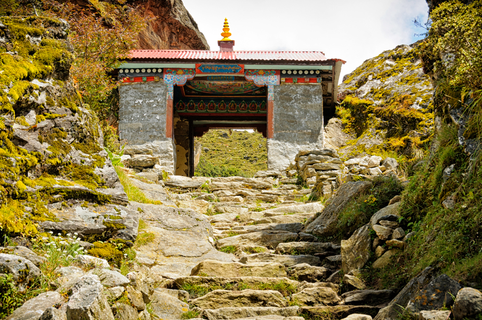
After Tengoche, the next stop is Pangboche. This is the kani (or a stupa-shaped arch over a trail, usually with paintings or murals towards the inside) at the entrance of Pangboche.
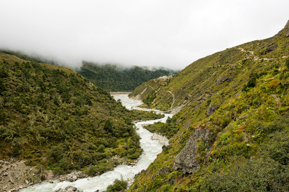
After Pangboche comes Pheriche via Orsho – this is looking at the Imja Khola from Orsho.
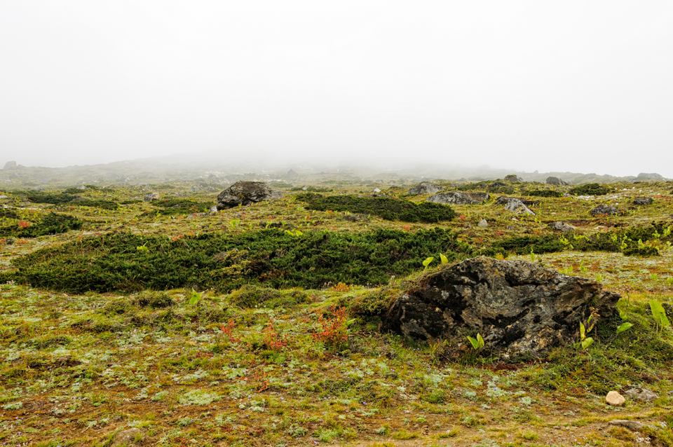
And here comes the mist rolling in along the ground…
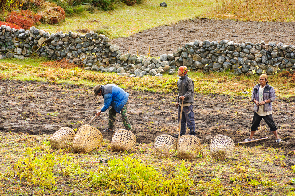
I was almost at 4000 metres now and the only thing that can be cultivated at this altitude is the hardy potato – believe it or not, even potatoes taste different between villages!
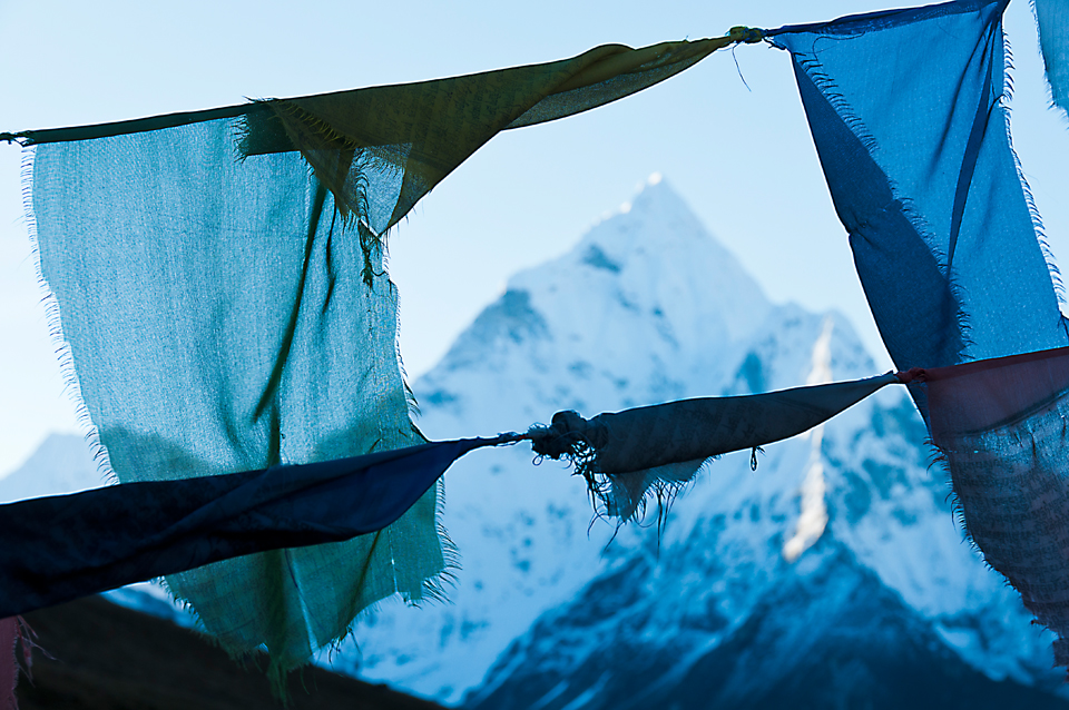
Next halt after Pheriche is Dughla: again a climb that literally leaves you breathless…straight up on unbalanced rocks and moraine. This is a photograph made at Dughla of Ama Dablam at sunrise framed by the prayers flags – possibly amongst my favorites of the thousand-plus that I came back with. What beautiful shades of blue.
From Dughla onwards to Lobuche: this is looking down the valley.
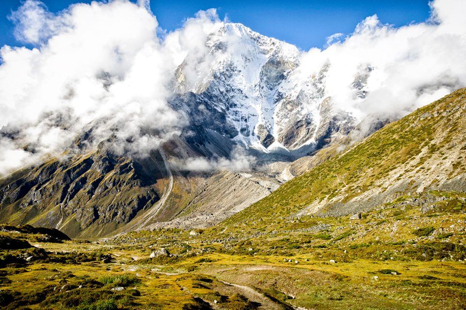
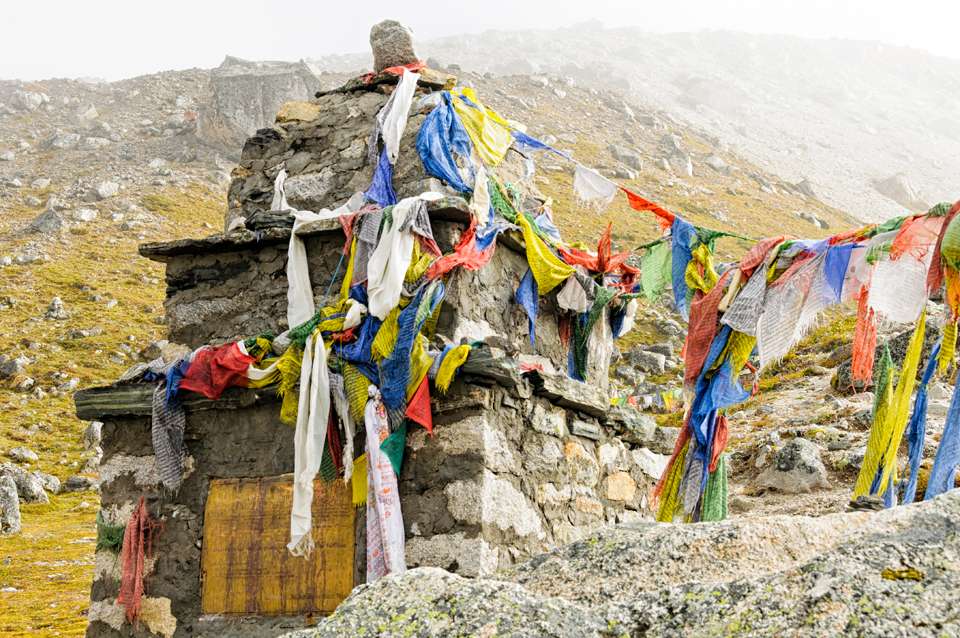
En route to Lobuche is this memorial to Babu Chiri Sherpa (June 22, 1965 – April 29, 2001) at the crest of the spur between Dughla and Lobuche – Chiri was a Sherpa mountaineer from Nepal. He was a legendary guide who reached the summit of Mount Everest ten times. He held two world records on Everest. He spent 21 hours on the summit of Everest without auxiliary oxygen, and he made the fastest ascent of Everest in 16 hours and 56 minutes. Such memorials are all along the trail to Everest…ample testimony to the dangers of the mountains.
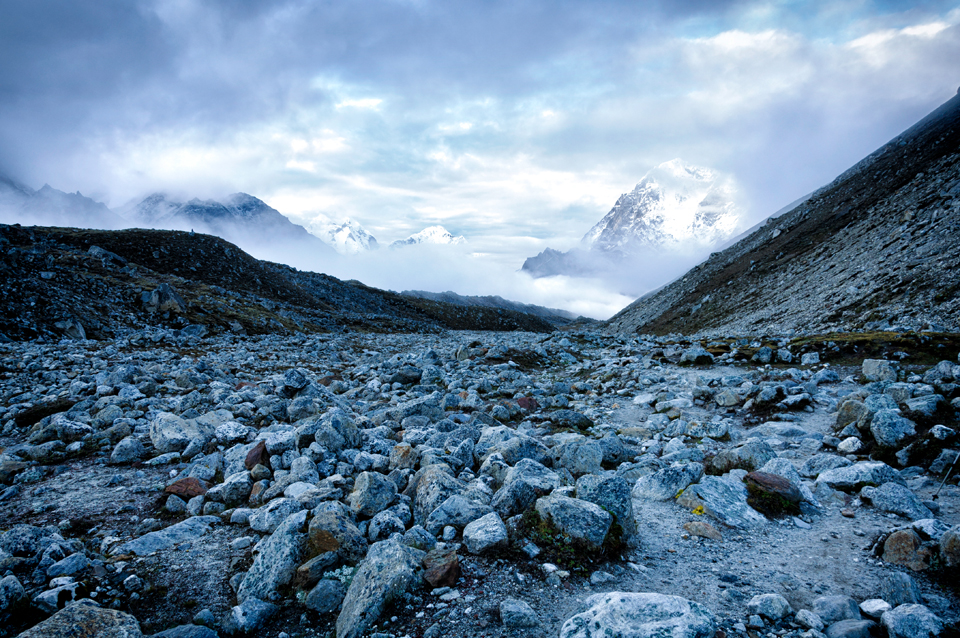
And this was while I was lying down on the trail from Lobuche to Gorak Shep for this shot…it was freezing cold, but of course well worth it. It’s really tough walking on a trail which is moraine and boulder strewn – a twisted ankle or knee might end the journey right there! And oh yes, there is no hospital anywhere near.
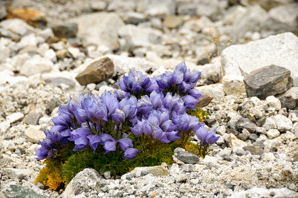
This was en route from Gorak Shep to Everest Base Camp – what an absolutely spectacular sight! What beautiful, brilliant colors contrasting with the terrain of the moon! Sadly I’m not a botanist and so can’t tell you the name…
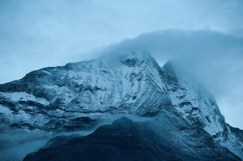
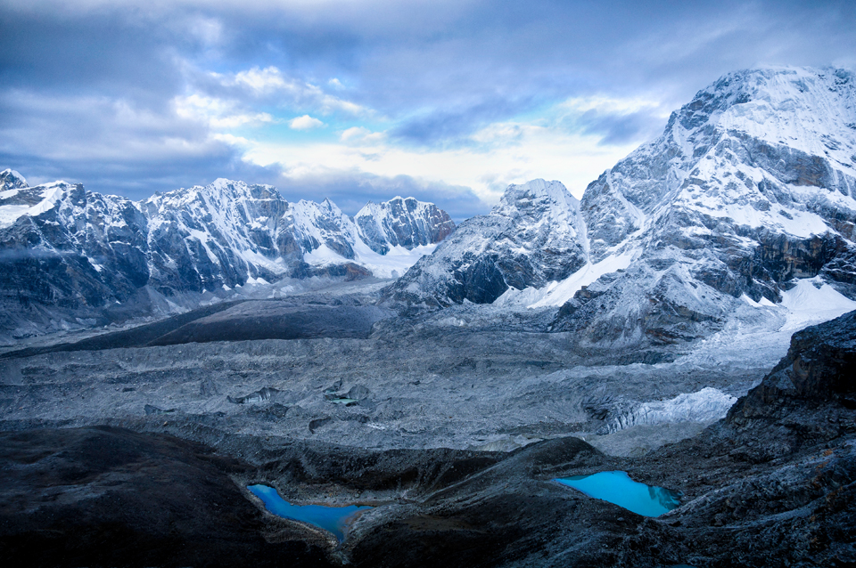
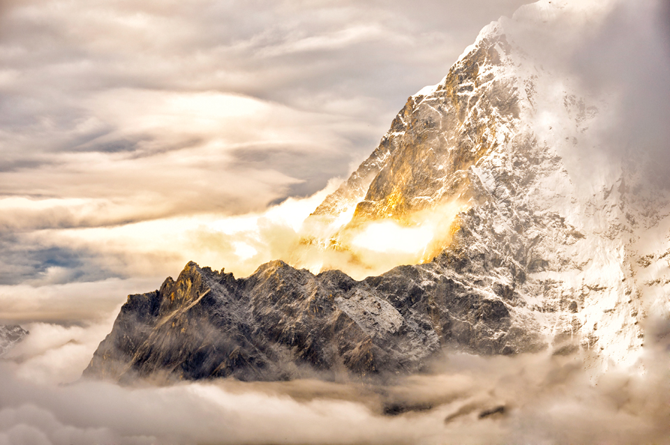
The mighty and majestic Himalayas… all natural colors of the dawn breaking over the horizon: ethereal really.
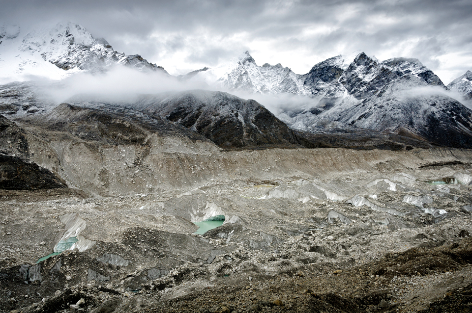
I was hanging off the edge of the mountain to lean down and create this photograph of glacial lakes…at almost 6000 metres, a tumble from here is certainly not advisable.
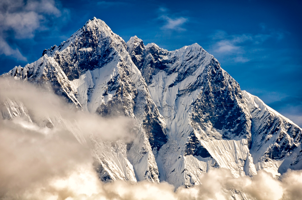
And now this is Tabuche at sunrise – it almost seems as if the mountain is on fire with the rays of dawn. I can’t even explain the feelings that overwhelm you when you witness such a sight, as night changes into day and this magical moment appears…
And finally, up close and personal with Mt. Everest in English, Chomolungma in Tibetan or Sagarmatha in Nepali.
My next post will be on what I felt there. These were just a few:
Postcards from Himalayas.

Leave a Reply